After enjoying unseasonably warm temperatures, the UK is forecast to face a sharp decline in temperatures with possible snowfall and strong winds, as per the latest Met Office announcement.
Following a notably warm period, with temperatures reaching 21.8C in Writtle, Essex, the UK is set to experience a sharp drop in temperatures, potentially reaching as low as minus 3C in rural Scotland. This transition is marked by the recent Met Office announcement indicating an impending change. Over the past weekend, many people across the UK took advantage of the sunny weather to visit parks and beaches. However, this weather is not expected to persist, with a significant cooling predicted as the new week unfolds.
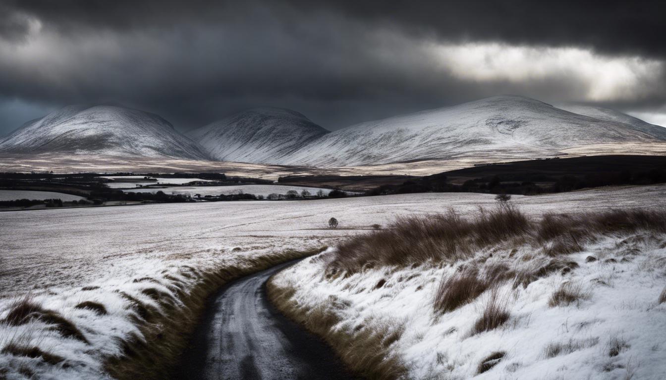
The Met Office has forecast that the cooler weather will continue throughout the upcoming week, with potential snowfall expected in parts of Northern England, Scotland, and Northern Ireland. Additionally, conditions may include showers, hail, and thunder in various regions. These conditions represent a stark contrast to the sunny weather experienced recently.
In related developments, the Met Office has issued a yellow wind warning for London and most of England, cautioning of gusts over 40mph. This warning is in effect until 10 pm today, with potential disruptions including travel delays and power cuts. The warning follows a sunny weekend in London where temperatures reached 21C on Friday. Today, a band of rain accompanied by strong, chilly winds is moving southeastwards across the country, signaling the start of cooler and more turbulent weather.
The UK has been experiencing a record amount of rainfall over the past 18 months, with this being the highest since records began in 1836. As the weather turns colder and windier, especially in northern regions, temperatures across the country are expected to drop, remaining in the low to mid-teens, with London temperatures potentially not rising above 15C until Friday.
This recent dramatic shift in weather conditions is part of a broader pattern of erratic weather the UK has been facing.