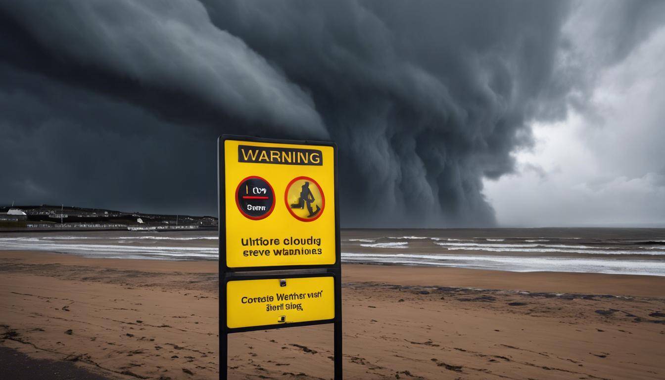
The Met Office has issued yellow weather warnings across multiple regions in the UK, forecasting strong winds, heavy rain, and possible tornadoes, leading to significant disruptions and safety concerns.
The UK is currently experiencing severe weather conditions affecting England, Wales, and Northern Ireland. The Met Office has issued a yellow weather warning in these regions until 10 pm on Monday, forecasting strong gusts of up to 45 mph inland and up to 55 mph along coastal areas. The weather system has brought heavy rain, potential thunderstorms in Basingstoke, Hampshire, and significant disruptions, including power outages and travel delays. Large waves pose additional risks for coastal communities.
In addition to the vigorous winds, the UK weather forecast predicts a brief period of colder temperatures with showers that may include sleet and hail, particularly affecting Scotland. However, as we approach late April, weather conditions are expected to improve with the arrival of high pressure, leading to drier and warmer weather from April 21.
Nottingham, particularly West Bridgford and parts of the city, experienced a tornado that caused considerable damage, including fallen trees and damaged roofs. This event accentuates current warnings regarding further potential tornadoes and violent conditions, with wind speeds that could reach up to 70 mph.
Amidst these turbulent conditions, the Met Office and local councils are focused on addressing the impacts, advising residents to remain cautious and travel only if necessary. On the horizon, the weather is set to stabilize, ushering in a calmer, warmer end to the week.