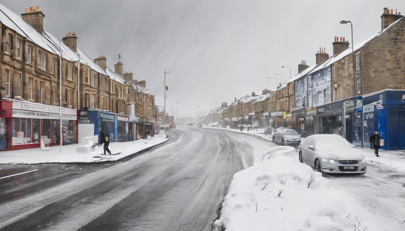
The UK is poised for significant snowfall and a rare climatic event as sudden stratospheric warming threatens to bring Arctic conditions, while southeastern Australia experiences record-breaking temperatures and severe heatwaves.
The UK is set to experience a significant Arctic weather phenomenon towards the third week of March, potentially bringing heavy snowfall and dramatically low temperatures. Weather analytics platform, WXCharts, has indicated that certain regions, especially Scotland, including Inverness and Aberdeen, could see snow depths reaching 25-30 cm. The cold wave is expected to extend southwards, affecting cities such as Edinburgh, Newcastle, and Manchester, with temperatures possibly dropping to -2°C. This forecast aligns with a rare climatic event known as Sudden Stratospheric Warming (SSW), which occurs roughly once every 250 years, according to the Met Office. The phenomenon may result in a stark temperature decrease and prolonged cold spells across the British Isles. The Met Office’s long-range forecast suggests “unsettled” conditions, including rain and overnight frost, between March 13 and 22.
Concurrently, southeastern Australia is grappling with a severe heatwave, leading to the hottest night recorded in Hobart in 112 years. The city’s overnight low reached 24.3°C, surpassing the typical March average by a significant margin. Senior meteorologist Sarah Scully notes this as an unusual event for the Tasmanian capital, attributing the ongoing extreme temperatures across South Australia, Victoria, Tasmania, and southern New South Wales to a high-pressure system that traps hot air over the region. The heatwave is expected to persist in the northern portions of Victoria and South Australia until Thursday, despite a brief respite anticipated in Melbourne and southern Victoria. The severe weather has prompted the cancellation or postponement of various events due to health and safety concerns, highlighting the impact of the intense conditions. Additionally, Western Australia faces contrasting weather challenges, with regions warned of potential flash flooding and heavy rains.


