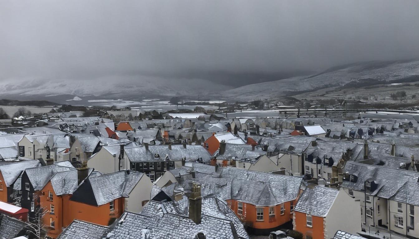
Parts of Scotland are set to face hazardous conditions due to a rare occurrence of freezing rain, amid a backdrop of unpredictable and unsettled weather across the UK.
Britain is set to experience a rare weather phenomenon known as freezing rain, particularly affecting parts of Scotland such as Fort Williams and Inverness, around 6 am on March 21. UK Weather Charts indicate that temperatures in these regions could plummet to 0°C, with weather maps highlighting an orange warning. This type of precipitation falls as liquid but instantly freezes upon touching cold surfaces, potentially leading to hazardous conditions such as icy roads and the collapse of power lines and trees. The Met Office describes the event’s formation process and cautions against the dangerous impacts it may have. Following the freezing rain, the weather is expected to remain unsettled but mild, with a slight chance of heavy rain and showers towards the week’s end, especially in western regions.
Meanwhile, the United States has recorded its hottest winter ever, with a notable shift causing temperatures to soar above the long-term average by 5.4F (3C). This unusual warmth affected various states, leading to reduced snow and ice coverage, including a record low ice coverage of just 1.2% in the Great Lakes region. The change in weather has had numerous effects, from disrupting winter sports and activities to impacting local ecosystems and maple syrup production.
In the UK, an erratic weather pattern continues with the lingering effects of the second-hottest February on record. London, in particular, is facing ongoing rain with forecasts predicting more showers, accompanied by mild temperatures for the next few days. The Met Office’s long-range forecast anticipates the unsettled weather to persist, highlighting the possibility of rain and potential thunderstorms, especially in southern and western regions. Despite hopes for brighter days, Britons are advised to prepare for more wet conditions in the near term.


