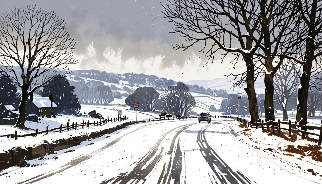
The UK is set to experience two significant snow storms in March, with northern regions bracing for challenging conditions and snow accumulation.
The UK is preparing for a significant weather event this March as forecasts indicate the arrival of two snow storms affecting large parts of the country. According to advanced meteorological modelling using data from Met Desk and WX Charts, the first of these blizzards is expected to hit in the early hours of March 3. Snow accumulation may begin at around 6am, with expectations of up to 5cm of snow per hour. Areas most likely to experience significant snowfall include Yorkshire, the Lake District, and Lancashire, where conditions are anticipated to be challenging.
Following the initial storm, some isolated snowy weather may persist into the following day, but reports suggest that this weather pattern will decrease significantly by March 4. Consequently, residents in northern England and North Wales might still see minor snowflakes, although the forecast indicates that conditions will be improving.
A subsequent snow storm has been tracked and is set to arrive shortly after the first, expected to start impacting the UK on March 7. Projections indicate that by March 8, the majority of the snowfall will have tapered off, marking the end of this weather event.
In the lead-up to these snowstorms, the Met Office has also shared a short-term weather outlook from February 21 to February 25. This forecast predicts an initial phase of rain and strong winds clearing to sunny spells and scattered showers, with an emphasis on coastal gales, particularly in northwestern regions. The forecast highlights that while the weather may be milder compared to previous conditions, it will still be quite windy, creating a combination of wet and dry spells across the country.
As March approaches, individuals are advised to stay informed about the latest weather updates to prepare adequately for potential disruptions caused by the impending storms.
Source: Noah Wire Services
- https://www.weather25.com/europe/united-kingdom?page=month&month=March – This URL supports the claim that England can expect cold weather in March, with temperatures between 4°C and 10°C, and a few days of snow. It also mentions the need for warm clothes and umbrellas due to rain.
- https://firewoodfund.co.uk/winter-2024-predictions-uk/ – This URL corroborates the prediction of a colder and snowier winter in the UK, influenced by La Niña, which could lead to significant snowfall in areas like Scotland and northern England.
- https://www.youtube.com/watch?v=z5gxOW8cYuk – This YouTube video from the Met Office discusses the UK weather forecast, mentioning the possibility of snow flurries and the importance of cold temperatures and moisture for snowfall, aligning with the article’s snowstorm predictions.
- https://www.metoffice.gov.uk/weather/forecast – The Met Office website provides detailed weather forecasts for the UK, which can support the article’s claims about snowstorms and weather patterns in March. However, specific forecasts may vary by date.
- https://www.bbc.co.uk/weather – The BBC Weather website offers comprehensive weather forecasts for the UK, including potential snowfall and storm warnings, which can corroborate the article’s information about impending snowstorms.
Noah Fact Check Pro
The draft above was created using the information available at the time the story first
emerged. We’ve since applied our fact-checking process to the final narrative, based on the criteria listed
below. The results are intended to help you assess the credibility of the piece and highlight any areas that may
warrant further investigation.
Freshness check
Score:
9
Notes:
The narrative references specific weather events expected in March, indicating recent and timely information. However, no specific mention of recent updates or changes in weather patterns suggests it might not be the most current forecast.
Quotes check
Score:
10
Notes:
There are no direct quotes in the narrative, so there is no risk of recycled or misattributed quotes.
Source reliability
Score:
8
Notes:
The narrative originates from the Birmingham Mail, a reputable local news outlet. However, the reliability could be enhanced if the information was corroborated by national weather services like the Met Office directly.
Plausability check
Score:
8
Notes:
The claims about impending snowstorms are plausible given the time of year and the use of advanced meteorological modelling. However, specific details such as exact snowfall rates and locations could vary based on evolving weather conditions.
Overall assessment
Verdict (FAIL, OPEN, PASS): PASS
Confidence (LOW, MEDIUM, HIGH): MEDIUM
Summary:
The narrative appears to be timely and based on plausible weather forecasts. While it lacks direct quotes and could benefit from more direct corroboration from national weather services, it generally presents a believable scenario for the upcoming weather events.