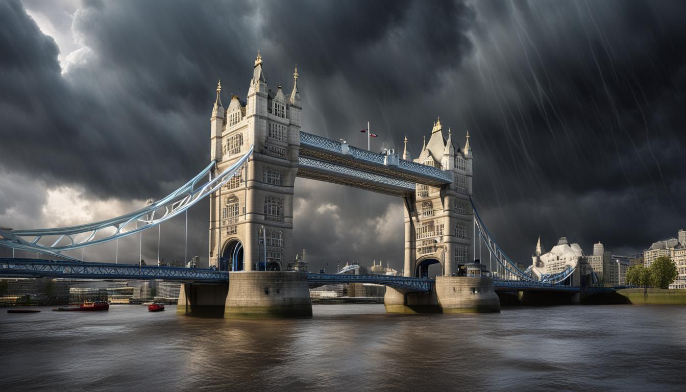
As the May bank holiday wraps up, the Met Office has placed multiple regions under thunderstorm warnings, anticipating significant rainfall and possible flooding. Meteorologists urge caution and advise staying updated on weather conditions.
The Met Office has issued multiple warnings for thunderstorms and heavy rain across various regions of the UK as the May bank holiday concludes. Thunderstorm warnings, including yellow warnings, cover areas from Glasgow to central Wales and south-eastern parts including Kent, Sussex, Surrey, and south London. Expected rainfall ranges from 20 to 40mm within an hour, with possible sunny spells intermittent with showers. Meteorologist Greg Dewhurst advised seeking shelter during thunderstorms and suggested precautionary measures including avoiding open spaces near metal objects and squatting low to the ground in cases of lightning.
In the broader context, similar weather patterns have affected multiple global regions. Rio Grande do Sul in Brazil has experienced its worst flooding in 80 years due to torrential rainstorms, resulting in at least 57 deaths and displacing around 24,000 people. This event has been linked to a combination of global heating and the recent El Niño phenomenon. Similarly, eastern Africa has faced severe flooding, amplified by a tropical storm hitting Tanzania, with a death toll surpassing 400 across several countries.
Back in the UK, the Met Office’s widespread thunderstorm warnings anticipate disruptions and possible flooding as the holiday weekend winds down. Major cities like Liverpool, Manchester, Glasgow, and Stirling could experience significant rainfall, leading to travel disruptions as millions head home after the bank holiday. Consequently, residents and travelers in affected areas are advised to stay alert and take necessary precautions during the stormy conditions.