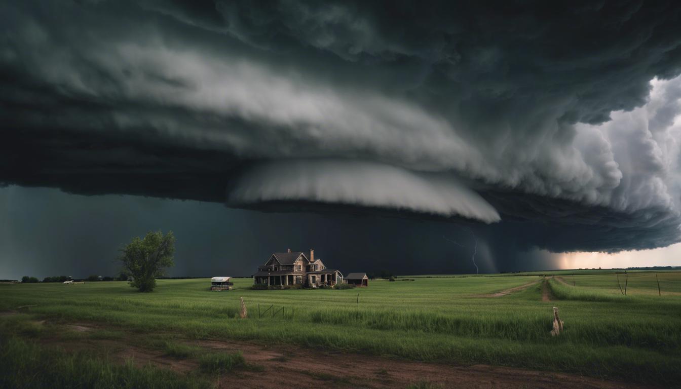
A powerful storm system has brought an increased risk of tornadoes, strong winds, and flash flooding to the central United States, with significant impacts in states like Kansas, Nebraska, and Missouri. Authorities urge residents to follow safety precautions.
A significant storm system has triggered severe weather across the central United States, with a particular focus on states like Kansas, Nebraska, Oklahoma, Missouri, and Virginia. The National Weather Service highlighted an elevated threat of tornadoes, strong winds, hail, and flash flooding in these areas. Forecasts predicted especially hazardous conditions in Kansas and Nebraska, with Monday evening expecting an uptick in discrete supercells potentially capable of unleashing tornadoes with hours-long durations and extensive damage.
Over subsequent days, the weather system was anticipated to push through the Mississippi Valley, Great Lakes, and Ohio Valley, maintaining a risk of severe conditions including isolated flash floods particularly affecting southern Iowa, northern Missouri, and central Illinois.
As the storm progressed, damage was reported in various locations. In Kansas, an EF-1 tornado near Richland resulted in injuries for two individuals and damage in Overbrook, while in central Iowa, a tornado destroyed a barn and caused additional damage in Dallas County. The incident near Richland saw winds reach speeds up to 100 mph, flipping an RV. Additional incidents included hail the size of ping pong balls in Bloomfield, Iowa.
Emergency warnings for ongoing severe weather were issued across Kansas, Missouri, Iowa, and northwestern Illinois, with concerns about large hail and damaging winds persisting. In one notable incident, a flight bound for Chicago from Kansas City had to return after a suspected lightning strike.
Local authorities reported structural damage and disruptions, including a camper overturning and a building losing its roof near Smithville Lake in western Missouri, as well as downed trees and power lines near Kansas City.
Officials and experts, including tornado scientist Harold Brooks, have indicated a peak in tornado activity during late April to mid-May, noting a shift in tornado occurrences towards the Mississippi River and eastward, possibly influenced by changing precipitation patterns linked to climate change. Residents were urged to remain vigilant and adhere to safety guidelines from local authorities to mitigate risks from these unpredictable and potentially destructive weather events.