Central US braces for tornadoes and hail while the UK deals with rare tornado sightings and extensive lightning strikes, leading to operational disruptions and precautionary warnings.
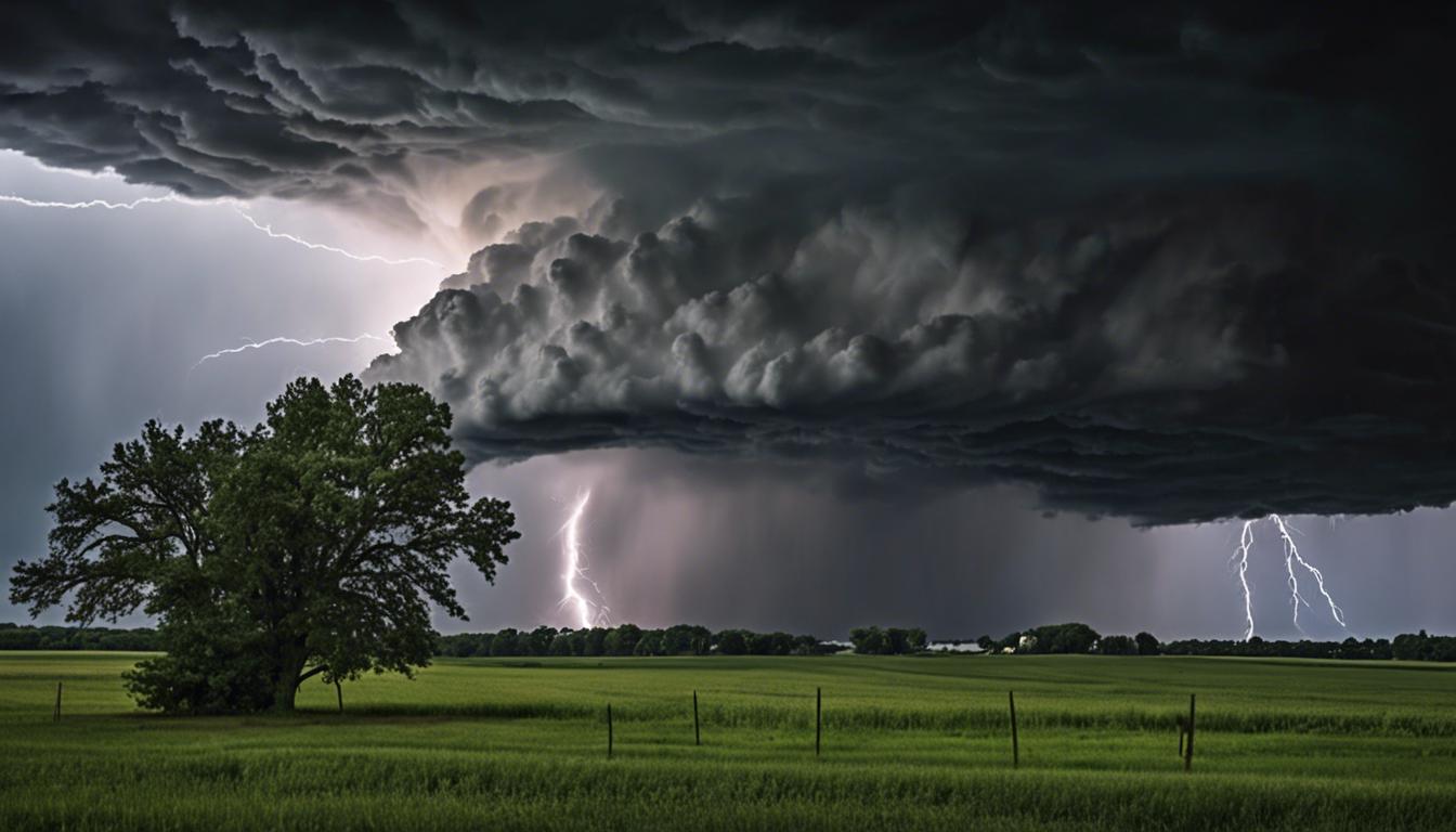
Severe weather, including potential tornadoes and hail, is set to impact central United States areas, affecting states like Missouri, Iowa, Illinois, and Wisconsin. The National Weather Service has rated the thunderstorm risk as Level 3 out of 5 and issued tornado watches. Residents can expect hail over two inches in diameter and wind gusts up to 70mph. There have already been tornado reports in Kansas, Missouri, and Iowa, along with a disrupted flight from Kansas City due to a suspected lightning strike. More thunderstorms are predicted across Michigan, Ohio, the Tennessee Valley, and the Ozark Plateau, with the Federal Aviation Administration rerouting flights to avoid the affected regions.
In the UK, the Met Office has issued warnings following an alleged tornado in Staffordshire and a bout of extreme weather marked by 450 lightning strikes. While tornadoes are uncommon in the UK, about 30 occur annually. The tumult has led to the closure of several bridges and tunnels and ongoing flood warnings. A low-pressure system from the North Sea is bringing strong winds and heavy rainfall, with expectations of more showers shortly. However, a shift to drier conditions is expected by the weekend, with forecasts promising more stable weather in early May.