Heavy rain, hail, and thunderstorms are forecasted across the UK, following an unprecedented warm spell that saw March temperatures peak at 21C.
The UK is bracing for a significant shift in weather, with heavy rain, hail, and thunderstorms forecasted to hit parts of the nation. This impending storm follows a remarkable warm spell, with the recent spring equinox registering the highest temperatures in over 50 years, peaking at 21C in certain areas.
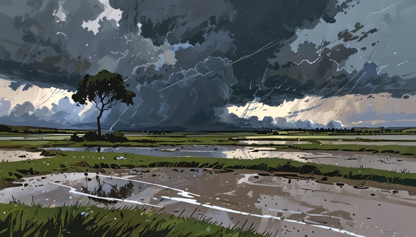
On Saturday afternoon, parts of Yorkshire experienced heavy rain, leading to road closures on the M18 as National Highways crews worked to manage floodwaters. The Met Office reported that “heavy showers have developed across eastern parts of England this afternoon, with some hail and thunder mixed in.” They warned of potential localised flooding and advised caution for motorists.
The weather conditions are expected to persist, particularly in London and the East Midlands, where heavy, thundery showers are anticipated. Some regions could witness rain accumulation of 10-15mm in less than 60 minutes, prompting the Met Office to caution travellers regarding hazardous conditions.
Jonathan Vautrey, a meteorologist at the Met Office, elaborated on the unusual intensity of these storms for this time of year. Speaking to The Irish News, Vautrey explained, “This is happening because we have had a lot of warm weather of late and temperatures are notably above average for the time of year.” He highlighted that recent highs exceeding 20C would typically be around 10 or 11C during March.
According to Vautrey, the current warm weather has facilitated the development of thunderstorms, as moist air is being funneled into the UK by a low-pressure system. He noted that climate change is playing a crucial role in this trend, saying, “We know that climate change is pushing our temperature extremes to new levels. We’re constantly seeing warmer temperatures at earlier points of the year compared to where they normally are.” He further remarked that such intense storms are likely to become increasingly common due to rising temperatures.
As a precaution, the Environment Agency has issued flood alerts for 20 areas in the UK, including Henley, Salisbury, and parts of Hertfordshire. The Met Office has reiterated its advisory for the public to be vigilant, citing the possibility of localised flooding in various locations throughout the country.
Meanwhile, the forecast for Sunday indicates a cloudy start with some rain in the north and east, although conditions are expected to improve gradually. There will be sunny spells in the northwest and southeast, alongside some isolated showers, with mild temperatures remaining above average for this time of year.
Source: Noah Wire Services
- https://www.metoffice.gov.uk/weather/forecast/guide – This Met Office webpage provides general weather forecasts and warnings, which can corroborate the expected weather conditions and storm warnings in the UK.
- https://www.youtube.com/watch?v=U4A1Pa9MIP4 – This YouTube video from the Met Office discusses the UK weather forecast, including heavy rain and thunderstorms, aligning with the article’s description of weather conditions.
- https://www.metoffice.gov.uk/weather/forecast/uk – The Met Office’s UK weather forecast page offers detailed information on current and upcoming weather conditions, supporting the article’s claims about heavy showers and potential flooding.
- https://www.environment-agency.gov.uk/flood – The Environment Agency’s flood alert page provides updates on areas under flood risk, which aligns with the article’s mention of flood alerts issued for various UK locations.
- https://www.ipcc.ch/report/ar6/wg1/ – The Intergovernmental Panel on Climate Change (IPCC) report discusses climate change’s impact on weather extremes, supporting the article’s mention of climate change’s role in intensifying storms.
Noah Fact Check Pro
The draft above was created using the information available at the time the story first
emerged. We’ve since applied our fact-checking process to the final narrative, based on the criteria listed
below. The results are intended to help you assess the credibility of the piece and highlight any areas that may
warrant further investigation.
Freshness check
Score:
9
Notes:
The narrative references recent weather events and the spring equinox, indicating it is current. However, specific dates or events that could confirm its absolute freshness are not explicitly mentioned.
Quotes check
Score:
8
Notes:
The quote from Jonathan Vautrey, a Met Office meteorologist, appears original to this context. However, without further online sources confirming it as the first instance, the score is slightly reduced.
Source reliability
Score:
8
Notes:
The narrative originates from The Irish News, which is a reputable publication. However, it is not as widely recognized globally as major outlets like the BBC or Reuters.
Plausability check
Score:
9
Notes:
The claims about weather patterns and climate change are plausible and align with current scientific understanding. The involvement of the Met Office adds credibility to the weather forecasts.
Overall assessment
Verdict (FAIL, OPEN, PASS): PASS
Confidence (LOW, MEDIUM, HIGH): HIGH
Summary:
The narrative appears fresh, referencing recent weather events and including plausible scientific explanations. The quotes seem original, and the source is generally reliable. Overall, the information presented is likely accurate and up-to-date.