The UK is poised for a rollercoaster of weather conditions, including severe thunderstorms, possible record temperatures in the South East, and a mixed forecast for the upcoming Bank Holiday weekend.
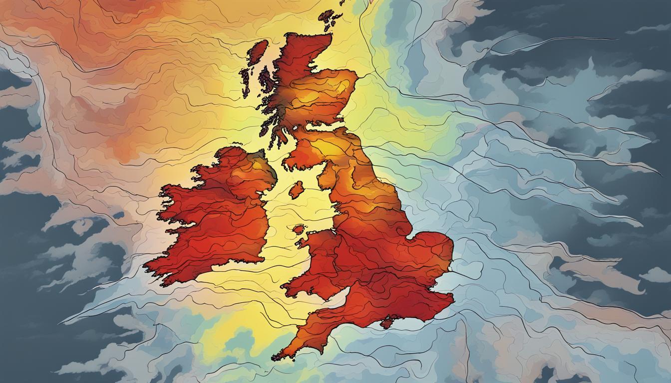
The UK is set to experience a fluctuating weather pattern in the coming days, including bouts of thunderstorms and potentially the warmest day of 2024, according to the Met Office. Southern England and Wales are under yellow weather warnings due to expected thunderstorms and heavy rainfall. These conditions could lead to travel disruptions, flooding, and power cuts. Despite this, temperatures in the South East may reach highs of 24 degrees Celsius by Thursday, surpassing the previous peak of 22.1C observed on Wednesday. Concurrently, more thundery showers could appear in the afternoon.
While the southern regions face unsettled weather, the northern parts of the UK will likely remain warm and dry. The weather outlook for the upcoming Bank Holiday weekend predicts a mix of rain and mild temperatures across various regions, with coastal temperatures showing a cooler trend.
In addition to domestic forecasts, an Iberian plume is anticipated to influence the UK weather, bringing several days of warmer and sunnier conditions. This could particularly affect the East and Northern England, and the west coast of Scotland, with temperatures expected between 17C to 19C. However, cooler temperatures around 9C are forecast for the northeast and southwest England.
Meteorologists indicate a mixed scenario of sunshine and showers in the coming days. The dominant high-pressure system next week might provide mostly dry and fine weather with temperatures slightly above normal. The general outlook for the Sunday and Bank Holiday Monday includes warm weather interspersed with scattered showers, offering a varied yet generally pleasant weather setting for most of the UK.