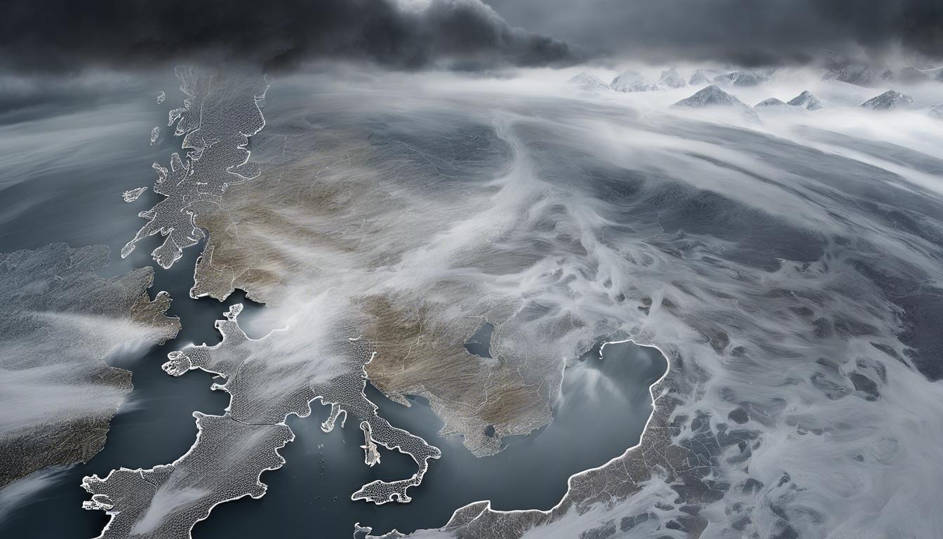
As spring approaches, Britain is set to experience a mix of weather phenomena, including a significant drop in temperatures and a 255-mile storm blast, challenging early expectations of spring warmth.
Britain is bracing for a mix of weather phenomena as spring approaches, with forecasts indicating both a cold snap and a significant storm on the horizon. Temperatures are set to drop sharply, reaching lows of -5C, particularly hitting the Scottish Highlands, Inverness, the Edinburgh area, and the Pennines hard with snowfall expected until March 22. Despite the cold, southern cities including Manchester, Birmingham, and London will experience milder conditions with temperatures between 3C to 5C. The Met Office’s Long Range Weather Forecast highlights an overarching trend of mild but unsettled weather, with the likelihood of rain bands and temperatures hovering above the season’s average.
Adding to the climatic drama, recent weather maps have triggered a red alert across the UK, predicting a 255-mile storm blast poised to deliver intense rainfall, especially across Scotland. This development has dampened the early expectations of spring warmth, keeping the much-anticipated sunshine at bay. The upcoming fortnight could see up to 5mm of rainfall per hour, with the west coast of Scotland and Wales poised for the heaviest downpours, especially over higher terrains. Rain accumulation could reach between 53mm and 86mm in Scotland and parts of northwest England, reflecting a significantly wet March.
The Met Office has issued advice for the public to remain alert and prepared for the stormy conditions anticipated. While there is some uncertainty in the long-term forecast, a return to seasonal average temperatures by March 27 is expected, with a potential for colder conditions, especially in northern parts of the UK, though confidence in this prediction remains low.


